Pages

Friday 27 January 2017

Walk 26th January 2017 Chinthurst hill - Blackheath - St Martha's hill - Chantry Wood - East Shalford


Start point:- TQ015463
Distance:- 11.8 km; 7.33 miles
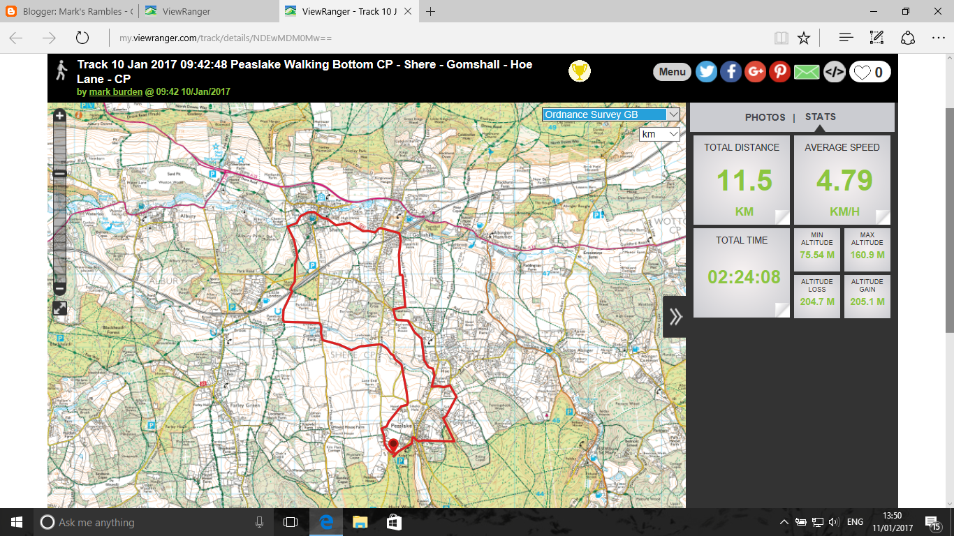
Time taken: 2 hours 23 minutes
Route:-
Chinthurst Hill CP - Tangley farm - Downs Link - Rosemary Hill - Lockner Lodge - Lockner farm - St Martha's Hill - NDW - Manor farm - Bradstock Brook - Lower Chinthurst farm

The walk starts from Chinthurst hill car park but does not include a walk to the top of this hill to see the foley built at the top. But the views from the top could always be enjoyed upon your return.

Details of chinthurst hill and the work of Surrey wildlife trust can be found here :-

http://www.surreywildlifetrust.org/reserves/chinthurst-hill

and details of a self guided walk

http://data.wildlifetrusts.org/sites/default/files/Chinthurst%20Hill%20%20Self-guided%20Trail%20Leaflet.pdf

Crossing the road and walking towards Blackheath where you will see to your right a memorial which commemorates the residents of Blackheath who were killed or missing in World War I (8 names) and World War II (5 names).

Many of these memorials were erected after the First World War. After the Second World War, the names of those who died in that war were also added to this memorial. The walk does not pass through the main village http://www.blackheathvillagearchive.com/ .

There will be a climb up to the church on St Martha's hill with some very good views looking both north and south. The 18th highest hill at 175 m. https://en.wikipedia.org/wiki/St_Martha%27s_Hill

Leaving the church and picking up the North Downs way with Chantry Wood to your left, if you divert to some footpaths in the wood you will again come out to some excellent view points. The wood in spring will be covered in bluebells to add to your enjoyment.

http://shalfordvillage.co.uk/shalford-history/the-chantries-the-gem-of-guildford

You can find another walk in this area available on the FancyFree walks website

http://fancyfreewalks.org/Surrey/Chantries-Shalford-Blackheath.pdf

Walking across the farmland towards Manor Farm if you look behind you, you will be able to see the ruins of St Catherine's chapel.

After crossing the railway line and walking across the sports ground of RGS you will return to the car park. I recommend taking the diversion to the farm rather than walk down the pavement of what can be a busy road.


Thursday 26 January 2017

Walk 25th January 2017 Silent Pool - Albury - Blackheath - Brook - Albury Heath


Start point:- TQ060485
Distance:- 10.5 km; 6.53 miles
Time taken:- 3 hours 4 minutes
Route:-
Silent Pool CP -Water Lane Cottages - Blackheath Lane - Blackheath Forest - Broomfields - Ponds Lane - Dark Lane - Silver Wood - CP

This walk was led by a member of Mole Valley Ramblers with 33 walkers. The time taken to cover the route will reflect the numbers of people walking.

Wednesday 25 January 2017

Walk 24th January 2017 Chinthurst hill - Blackheath - St Martha's Hill - East Shalford


Start point:- TQ015463
Distance:- 11.8 km; 7.33 miles
Time taken:- 2 hours 26 minutes
Route:-
Chinthurst Hill CP - Tangley farm - Downs Link - Rosemary Hill - Lockner Lodge - Lockner farm - St Martha's Hill - NDW - Manor farm - Bradstock Brook - Lower Chinthurst farm

This will be a walk I shall lead for Mole Valley Ramblers


Both photos taken from St Martha's church looking south into morning fog and mist

Sunday 22 January 2017

Walk 19th January 2017 Norbury Park - Polesden Lacey


Start point:- TQ151548
Distance:- 13.4 km; 8.33 miles
Time taken:- 2 hours 50 minutes
Route:-
Young St (top) - Admiral's track - Connicut Lane - Bagden Lodge - Chapelhill Wood - Crabtree Cottages - Druids Grove - Norbury Park Farm - Icehouse Coombe - Updown Wood - Fetcham Downs - CP

Thursday 19 January 2017

Walk 18th January 2017 Peaslake Walking Bottom - Shere - Gomshall - Peaslake


Start point:- TQ083446
Distance:- 11.9 km; 7.4 miles
Time taken:- 3 hours 17 minutes
Route taken :-
Peaslake Walking Bottom CP - Hazel Hall - Jesses Lane - Drydown Farm -  Ponds Farm - Ponds Lane - Shere Heath - Dark Lane - Cycle Route 22 - Towerhill Lane - Hazelhatch - Broadfield Road - Purser's Farm - Hoe Lane - Riding Bottom - Peaslake church - CP

I led this walk for Mole Valley Ramblers. There are only two stiles on this route. Good views of surrounding countryside will be had as well as a welcome pub in Peaslake at the end of the walk.

On a personal note I did not fully check the information submitted to Ramblers website so the description online suggested the walk would go south instead of north as I had originally submitted. Always make time to check the information being uploaded to the website before hand.

The time taken for this walk reflects the fact that 25 walkers enjoyed this route. There are public toilets available in Shere near to the Tillingbourne stream

Walk 17th January 2017 Shere millenium trail (northern section)


Start point:- TQ083446
Distance:- 11.8 km; 7.33 miles
Time taken:- 2 hours 28 minutes
Route:-
Peaslake Walking Bottom CP - Hazel Hall - Jesses Lane - Drydown Farm -  Ponds Farm - Ponds Lane - Shere Heath - Dark Lane - Cycle Route 22 - Towerhill Lane - Hazelhatch - Broadfield Road - Purser's Farm - Hoe Lane - Riding Bottom - Peaslake church - CP

This will be the walk I shall lead for Mole Valley Ramblers on 18th January 2017

Wednesday 11 January 2017

Walk 11th January 2017 Norbury Park - Givens Grove - Mickleham


Start point:- TQ163551
Distance:- 9 km; 5.59 miles
Time taken:- 2 hours 35 minutes
Route:-
Young St (Lower) CP - Mole Gap Trail - Downside Manor - The Garden House - Nursery - Mickleham - Updown Wood - CP

This walk was led by a member of Mole Valley Ramblers with 44 people walking in the group.

In Updown Wood before taking the path down to the filed and the car park you get a view of Fetcham and Leatherhead. And you will see 4 churches in leatherhead from that vantage point

Walk 10th January 2017 Peaslake Walking Bottom - Shere - Gomshall - Hoe Lane


Start point:- TQ083446
Distance:- 11.5 km; 7.15 miles
Time taken:- 2 hours 24 minutes
Route:-
Peaslake Walking Bottom CP - Hazel Hall - Jesses Lane - Drydown Farm -  Ponds Farm - Ponds Lane - Shere Heath - Dark Lane - Cycle Route 22 - Towerhill Lane - Hazelhatch - Broadfield Road - Purser's Farm - Hoe Lane - Riding Bottom - Peaslake church - CP

This variation on the previous walk diverts up Hoe Lane to avoid walking for a long distance on  a road without any pavement. And as I shall be leading this walk next week for Mole Valley Ramblers I have chosen a safer option without much change in distance

Friday 6 January 2017

Walk 6th January 2017 Shere millenium trail northern section starting from Walking Bottom (Peaslake)


Start point:- TQ
Distance:- 10.8 km; 6.71 miles
Time taken:- 2 hours 23 minutes
Route:-
Peaslake Walking Bottom CP - Hazel Hall - Jesses Lane - Drydown Farm -  Ponds Farm - Ponds Lane - Shere Heath - Dark Lane - Cycle Route 22 - Towerhill Lane - Hazelhatch - Broadfield Road - Smokey hole - Peaslake church - CP


The parish of Shere, which also includes Gomshall and Peaslake - were associated with the industries of weaving and tanning. Shown on a map of 1753 it says that Shere and Gomshall are famous for the weaving of fustain. (a coarse cloth, thick twilled) http://www.thefreedictionary.com/fustian

Shere church - 1329 Christine Carpenter the Anchoress of Shere was imprisoned for several years in the 14th Century, according to a 12th century chronicler Father Michael Duval. St James church Shere built in 1190 built in the early English transitional style. The nave pews were originally numbered and people paid the church to rent them. http://www.sheredelight.com/history.html

In English mediaeval architecture there have been six recognised “styles” : Anglo-Saxon; Norman (aka “Romanesque”); Transitional; Early English; Decorated; and Perpendicular. Of these, the last three are collectively known as “Gothic”. On the whole the later the period the more evidence of it you will see in our churches. In reality, very few churches indeed are of one style. Churches went through a great deal of change and expansion over the centuries so most churches are a bit of a mongrel mix! The actual dates for these periods are not precise. That is because, these different styles did not happen overnight. We call the period between Norman and Early English “Transitional” because for a period our architecture exhibited a mixture of the two styles and it can be said that some things did not occur before and after that period so it had some of its own characteristics. However, there were always transitional period (small “t” and small “p”)  between any two styles of architecture. Not everything was adopted immediately; not all church builders would have learned the new styles at the same time; and some places and people would be more conservative than others.

More detail on Shere can be found here
http://www.british-history.ac.uk/vch/surrey/vol3/pp111-121

 Taken from near to Hazel Hall looking north towards the North Downs

St Mary's church at Peaslake is a Victorian church built about 1889. A grade II listed building. Church. Built in 1889 by Ewan Christian. Built of Sandstone rubble with tiled roof having shingled spirelet with metal clock face. Simple apsidal-ended structure with attached vestry. West front has bell gable and triple lancet window within arch incorporating 2 circular windows. South porch has sandstone base and wooden trefoils above and gable with curved fretted bargeboards. Simple lancet windows to rest of the church apart from paired lancet with circular windows over to vestry. Interior has roof of arch-braced type. Apse has stained glass windows of St Luke, St Mark, Mary the Virgin, Christ and Michael the Archangel and 2 panels depicting Faith and Hope of 1899. South window
of nave has 1896 window and 1926 window depicting St Bertha and St Augustine. Stained glass in west window of 1912. Circular stone font, original bench pews and tiled floor, lectern and pulpit

Thursday 5 January 2017

Walk 4th January 2017 Brockham - Pixham - Box Hill


Start point:- TQ198498
Distance:- 9.53km; 5.92 miles
Time taken:- 2 hours 54 minutes
Route:-
Big Field CP - Brockham - Coach Road - Betchworth Park - Pixham Lane - Stepping Stones - Pilgrims Way - CP

This walk was led by a member of Mole Valley Ramblers with 31 walkers which will be reflected in the time taken to cover this route.

The walk touches the new Deepdene trail http://www.molevalley.gov.uk/deepdene/index.cfm. Then goes to Pixham and on to the Stepping stones at the foot of Boxhill. There is a climb up via steps and the walk picks up the Pilgrims way before dropping back to the Rugby club where the walk started from.

There are opportunities to lengthen this walk route which can be explored later during 2017.

The above picture was taken on the Pilgrims way north of Brockham

Walk 2nd January 2017 Norbury Park


Start point:- TQ151548
Distance:- 11 km; 6.84 miles
Time taken:- 2 hours 16 minutes
Route:-
Young St CP (top) -Fetcham Downs - Updown Wood - Icehouse Coombe - The Priory -  Sawmill - Beechy Wood - Crabtree cottages - Bookham Wood - Denshire Hill - The Hazels - CP